

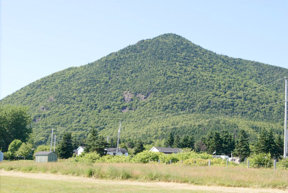
Wilkie Sugarloaf
Located just 1km North of Cabot Landing Provincal Park, Wilkie Sugarloaf Mountain gives you a view of Northern Cape Breton which you will soon not forget.
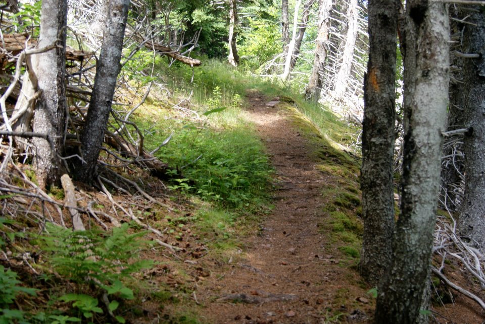
The trail to the peak of Sugar Loaf Mountain is a long steady one. Notice I did not say easy, it is far from that. There are very few places to stop and rest your legs as you make your way through the dense coniferous forest which covers the mountainside. Along the way you will you will catch a few brief glimpses of the Atlantic and nothing much more. The true reward is after one hour of uphill climb when the ground finally levels out and you get your first views of where you came from.
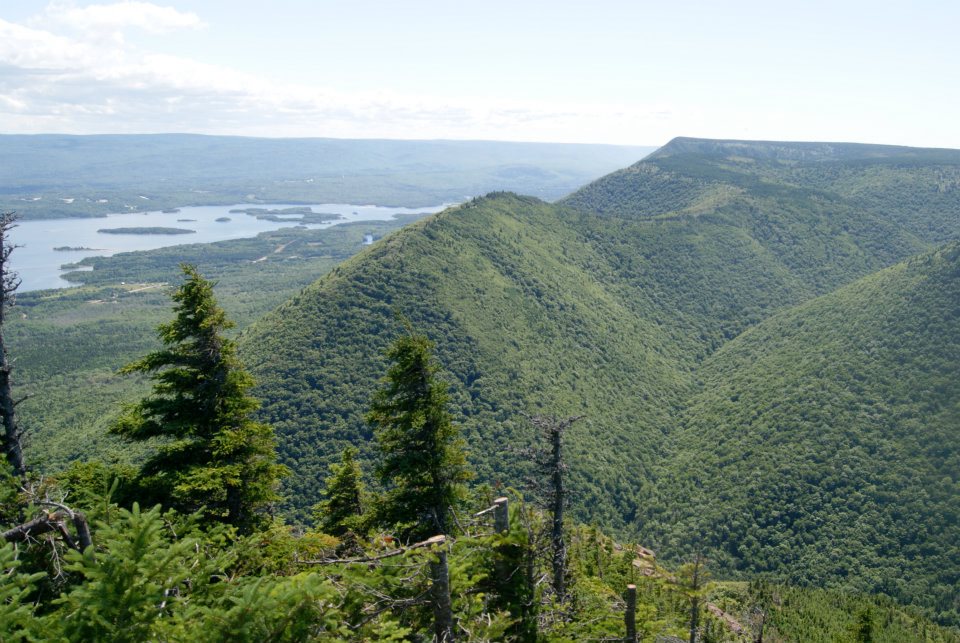
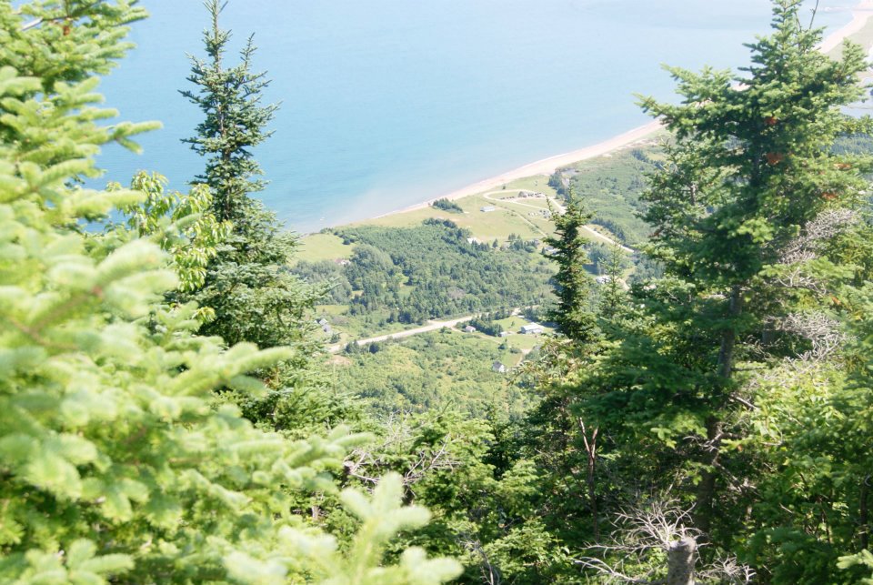
John Cabot landed on the shores of Cape Breton over 500 years ago and when you reach the top of Sugar Loaf Mountain it is obvious why he pulled over and left his legacy. Approximately 1400 feet below you see the long sandy shores of Cabot Landing Beach, including the waters of North, South, Middle, and Digby Harbours. Looking inland you see ridge after ridge of Cape Breton’s Highlands, reaching all the way to the most uninhabited regions on Cape Breton Island.